-
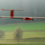
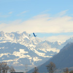
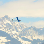
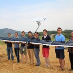
- AtlantikSolar AS-3 after its 26-hour fully autonomous solar-powered SaR mission.
-
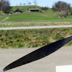
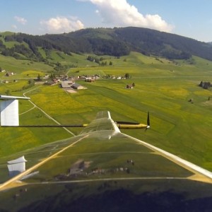
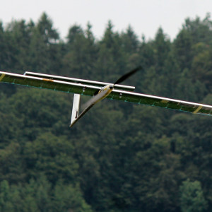
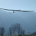
- T=26h: Final approach during the autonomous landing.
-
- T=13h. Ground Station on the next morning. We’ve received first sun here.
-
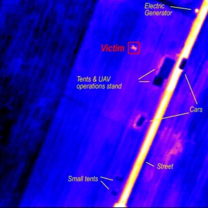
- T=5h. Live-streamed thermal camera images with annotation. Note the victim that can easily be detected.
-
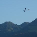
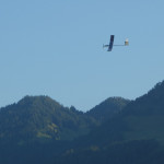
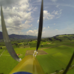
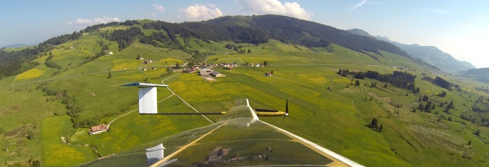
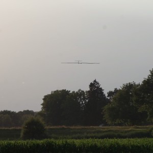
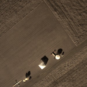
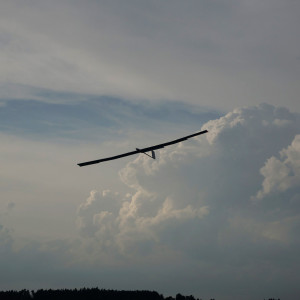
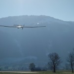
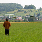
- T=5h. The airplane is seen loitering in the top left, performing the SolAIR Search-and-Rescue mission.
-
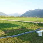
- Live-streamed RGB camera image. Our tents are clearly visible.
-
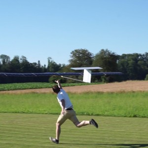
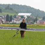
- T=0h. Autonomous (hand-) launch.
-
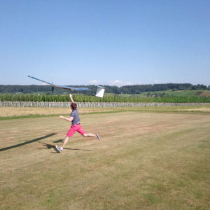
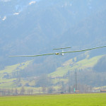
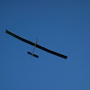
- T=0 hours, Handlaunch of AS-2 for the record attempt
-
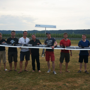
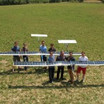
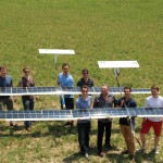
- T=81.5 hours. A happy team after a 81.5 hours record flight.
-
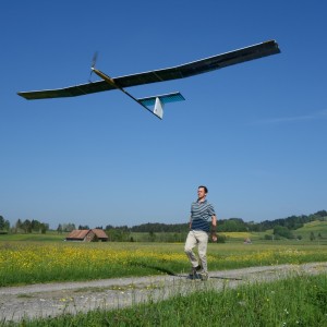
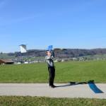
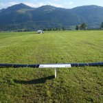
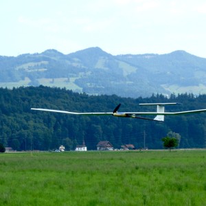
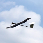
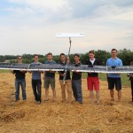
- Hand launch
-
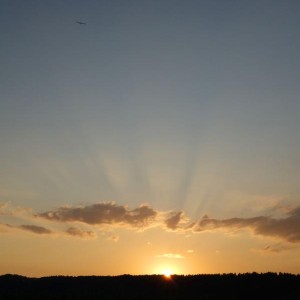
- T=36 hours, flying towards the night. Will we make it?
-
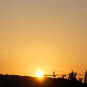
- T=70 hours, sunrise on the third and last day.
-
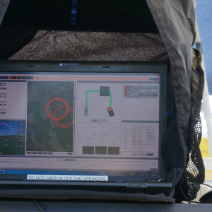
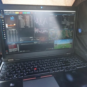
- T=8 hours, monitoring the aircraft and its energy generation and storage system. Batteries are fully charged here.
-
- T=81.5 hours. Landed.
-
- T=81 hours, thunderstorm clouds and winds up to 60 km/h make the landing very challenging.
-
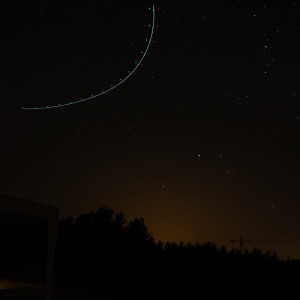
- T=41 hours. Drawing circles into the night using the onboard position indicator lights.
-
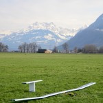
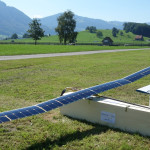
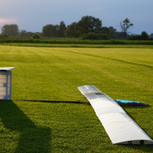
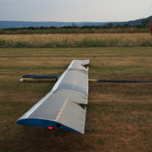
- AtlantikSolar 2 (AS-2) – Safely on the ground after its successful 28 hour flight.
-
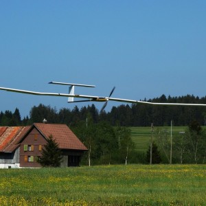
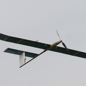
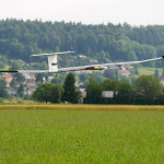
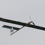
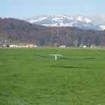
- Approaching for landing.
-
- AtlantikSolar 2 (AS-2) – Safely on the ground after its successful 28 hour flight.
-
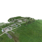
- Reconstructed 3-D map
-
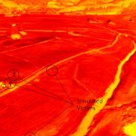
- Infrared-camera view from AtlantikSolar – the potential victims (humans) can be seen in the lower left side of the image
-
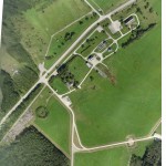
- 2-D reconstructed map of Marche-En-Famenne, Belgium
-
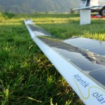
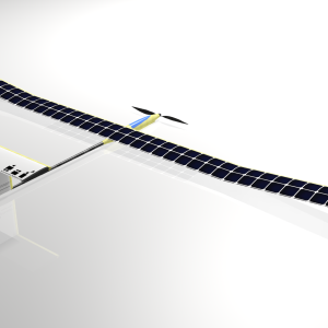
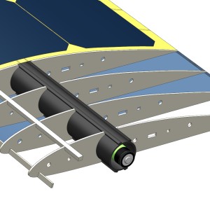
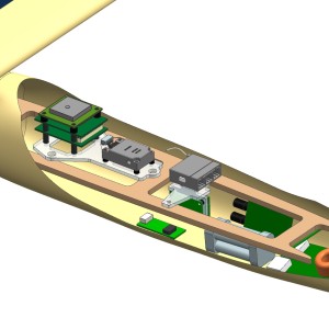
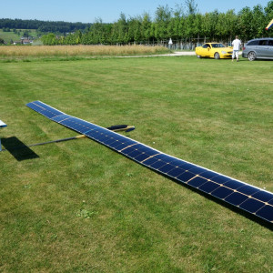
- Figure 1: AtlantikSolar UAS in its mapping configuration – i.e. with an optical and infrared sensors installed below the wing

-
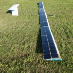
- AtlantikSolar AS-S1 after the 12 hour continuous flight test in Rafz/CH.